
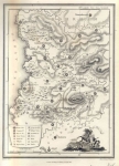
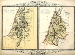
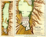
Old Maps and Globes > Holy Land Maps
Set of 23 Topographic Maps of The land of Israel Published by the Survey of Palestine1948


A Set of Topographic Maps of The land of Israel 1948/1949. This is the 1:100,000 scale topographic maps of Israel, compiled drawn and printed in 1942-1943 reprinted in Israel in 1948/1949. The set includes 23 of 24 maps. All maps are in excellent condition, with hardly any tears and no foxing. Maps 17-23 are in Hebrew. The maps in the set are (from the north): Metulla, Haifa, Safad. Zikhron-Yaaqov, Nazareth, Jaffa Tel Aviv, Nablus, Yibna, Ramle, Jerusalem, Gaza, Hebron, Dead Sea, Rafah, Beersheba, Jebel Usdum, Uja, Uvdah, Wadi El Jib, Har Lazan, El Amr, Quntila, Ein Adin.
Related Items
-
 Price: $55.00
 -
 Price: $60.00
 -
 Price: Contact us
Development: Epoch | Design: Luch
Copyright © 1999-2024 Gilai Collectibles. All Rights Reserved